
Professional Surveying Services
Comprehensive geospatial solutions powered by cutting-edge technology and decades of expertise across East Africa.
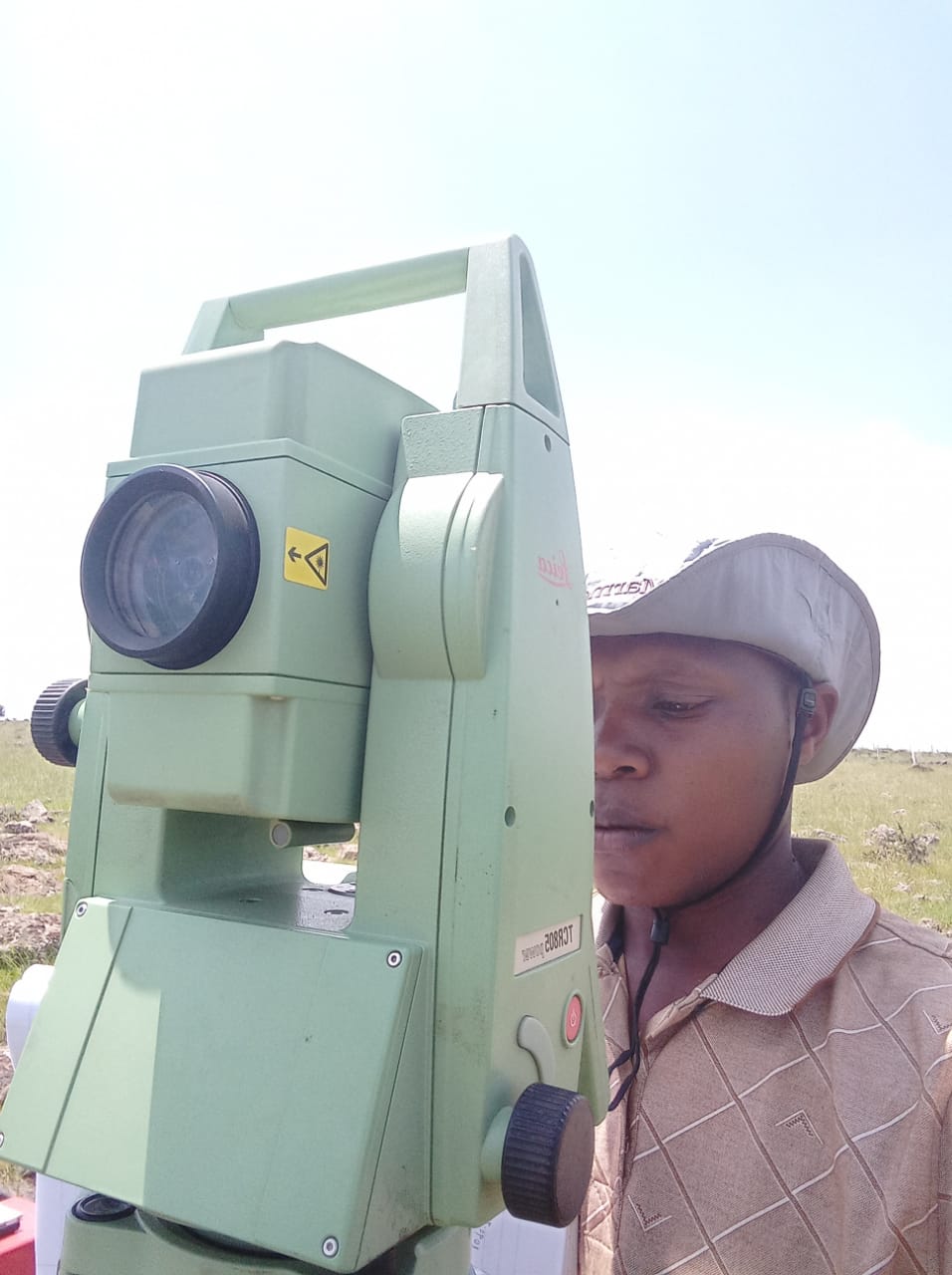
Topographical Surveys
Topographical Survey Kenya, Land Mapping Services, Terrain Analysis East Africa
Comprehensive land mapping for infrastructure, agriculture, and urban planning projects across East Africa.
Cadastral & Land Titling
Cadastral Survey Services Nairobi, Land Titling Kenya, Property Boundary Survey
Legally compliant boundary surveys for secure property ownership and dispute resolution.
GIS & Remote Sensing
GIS Mapping Company East Africa, Remote Sensing Services, Spatial Analysis Kenya
Advanced spatial analysis and data visualization for informed decision-making.
Engineering Surveys
Engineering Survey Kenya, Infrastructure Mapping, Construction Survey Services
Precision measurements for infrastructure projects including roads, airports, and utilities.
Drone Mapping & Photogrammetry
Drone Mapping Services Nairobi, UAV Survey Kenya, Aerial Photography East Africa
High-resolution aerial surveys using advanced UAV technology for detailed mapping.
Quantity Surveying
Quantity Surveying Kenya, Construction Cost Estimation, Project Management East Africa
Cost estimation and project management support for construction and development projects.
Our Process
From initial consultation to final delivery, we follow a proven methodology that ensures accuracy, efficiency, and client satisfaction.
Project Consultation
We assess your requirements and recommend the most suitable surveying approach.
Site Reconnaissance
Our team conducts a preliminary site visit to understand terrain and accessibility.
Data Collection
Using state-of-the-art equipment, we gather precise measurements and spatial data.
Processing & Analysis
Data is processed using advanced software to create accurate maps and reports.
Quality Control
All deliverables undergo rigorous quality checks to ensure accuracy and compliance.
Delivery & Support
Final products are delivered with ongoing support and consultation as needed.
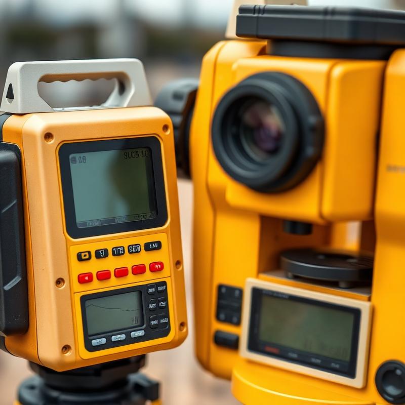
Cutting-Edge Technology
Topographical Survey Kenya • Cadastral Survey Services Nairobi • GIS Mapping Company East Africa • Land Surveying Experts Kenya • Engineering Survey Kenya • Drone Mapping Services Nairobi